
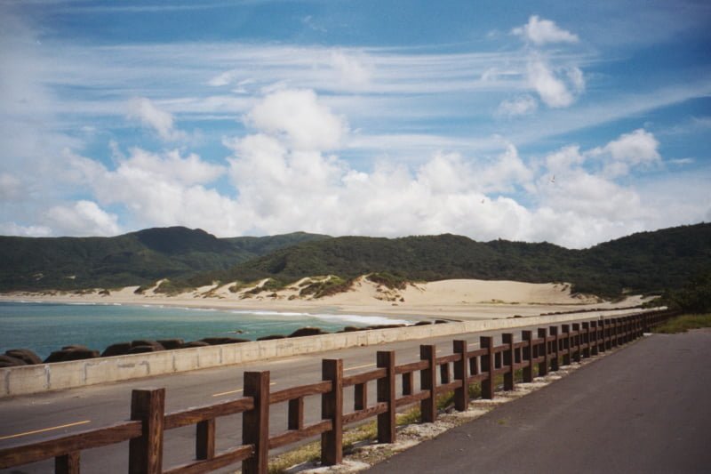
Being a travel photographer has been my dream since childhood—introducing the most vibrant ecology and cultural landscapes of the Earth to everyone through images and words.
While I am still working hard to realize this wish, living in the islands of the Republic of China gives us a very fortunate advantage: the ubiquitous mobile signal coverage is truly incredible and powerful.
Currently, except for a short stretch on the Southern Cross-Island Highway, the deepest parts of remote mountains, and a few small pockets along the northern coastal highway, my mobile phone gets reception almost everywhere. No wonder many foreign friends visiting the island of Taiwan for the first time are astonished by the depth and breadth of mobile communication technology in the Republic of China.
What Does a Mobile Phone Have to Do with a Travel Photographer’s Plan?
It is precisely thanks to the far-reaching capability and quality of telecommunications networks that, wherever we travel, we can instantly, conveniently, and swiftly share what we see with family and friends via Multimedia Messaging Service (MMS) or 3.5G mobile broadband (HSPA).
Even better, we can immediately interact two-way with everyone on the spot. This alone is enough to make foreign friends envious, and it serves as a great marketing asset for our country when promoting international tourism.
Invited by Chunghwa Telecom, I have recompiled the photographs I captured on mobile phones and shared over mobile networks during past travels throughout the country—including Taiwan, Penghu, Kinmen, and Matsu—to provide everyone with a brief introduction to domestic travel.
I hope this initiative sparks further inspiration so that we can share the beauty of the Republic of China together and savor the touching moments of interacting with people in real time.
The first step before heading out is checking today’s weather. Although an aspiring travel photographer shouldn’t fear weather changes, wrapping up in a blanket on very cold days is still okay once in a while (blush).
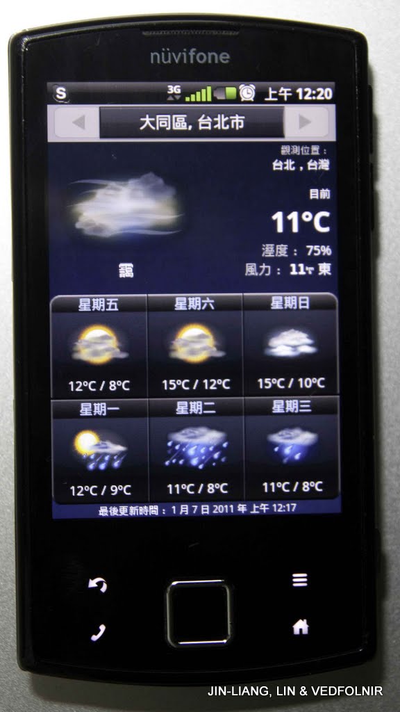
Taipei also has a chilly low of 11 degrees
Calla Lily Season in Yangmingshan
Among the famous specialties of Taiwan Province—“the mountains”—I believe Yangmingshan offers some of the best communication quality.
Yangmingshan is a prominent tourist attraction and one of the earliest developed mountain resort areas, inhabited by many high-ranking officials and dignitaries. As a result, cellular network coverage here is exceptionally comprehensive. When uploading this calla lily season photo, transmission was silky smooth even deep in the mountains.
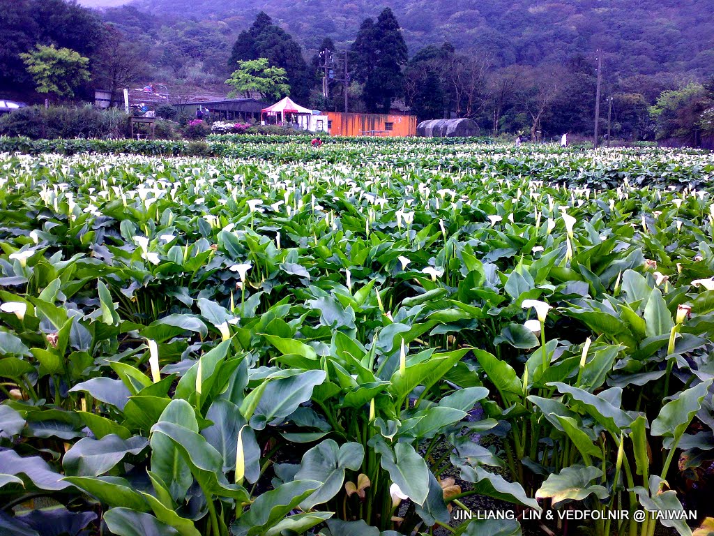
Yangmingshan Calla Lily Season
Technology has advanced dramatically: even smartphones now integrate satellite navigation antennas and chips that once commanded high prices. Furthermore, the phone itself can perform base station triangulation (A-GPS), enabling location searches and turn-by-turn map navigation directly from your handset.
As shown in the image below, I am currently using navigation to locate myself, Mizuc, who has gotten lost.
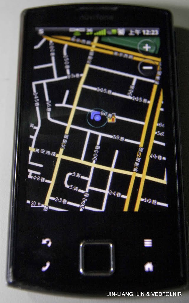
Searching for my own location
As a brief introduction, general navigation systems require not only hardware (such as built-in GPS antennas and chips) but also coordinating software. Navigation software generally falls into offline and online categories.
Offline software stores map data and regional points of interest directly on the mobile device, allowing navigation independently through the app itself. Garmin’s MapSource is a classic example.
Online software provides a client application that connects to the internet during navigation, uploading GPS coordinates to server infrastructure. The server then transmits the relevant regional map data back to the phone for display.
A prominent example is NaviKing. Online software offers advantages such as real-time updates and diverse information feeds.
Holy Pigs in Fuxing Township, Taoyuan
With accurate satellite navigation, we can boldly venture into various festive celebrations to capture photographs.

Sacrificial Holy Pig competition in Fuxing Township, Taoyuan
Although Fuxing Township in Taoyuan County is situated in remote mid-altitude mountains on the island of Taiwan, it remains a populated rural district featuring landmarks like the Jiaobanshan Residence.
I believe telecommunication providers have deployed dedicated base stations here, keeping communication quality remarkably high.
Tamsui Sunset
The photo below shows Tamsui, a town well known across the nation. The shooting spot happened to be right next to the local telecom headquarters, so signal quality needs no explanation—it is simply phenomenal!
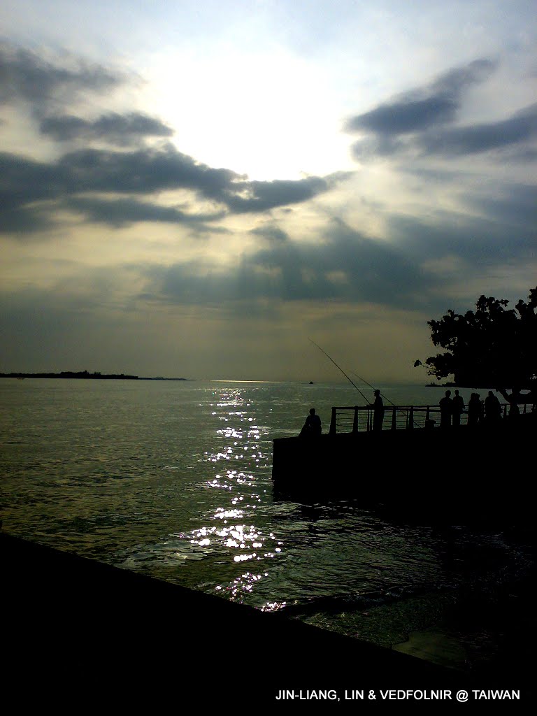
Sunset and fishermen along the Tamsui River
Legislative Yuan of the Republic of China
Because the Legislative Yuan of the Republic of China is situated at the core of the capital city, Taipei, signal quality is flawless. Uploading first-hand photo reports of protesting crowds was completed in a snap.
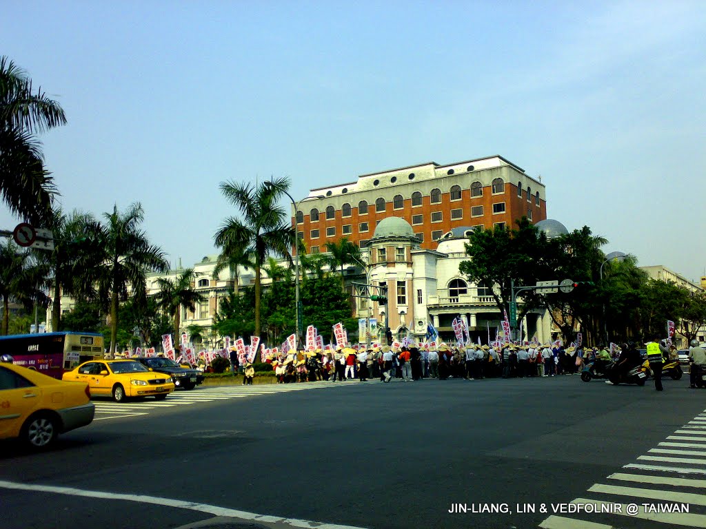
Legislative Yuan of the Republic of China and local scene (protesting crowds)
Bitou Cape Lighthouse
Bitou Cape Lighthouse sits at the northeast corner of the island of Taiwan (Ruifang Township). Although nestled beside mountain ridges, its open terrain allows it to receive distant cellular signals at certain spots. Uploading photos is still viable, though upload speeds cannot always be guaranteed.
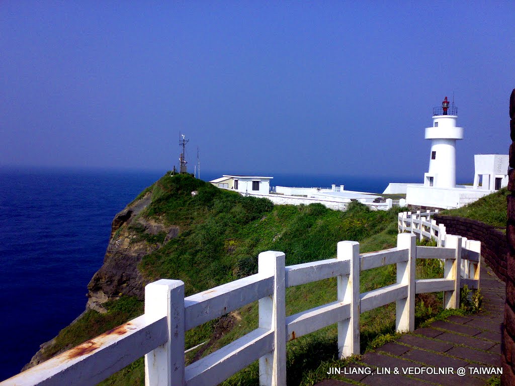
Bitou Cape Lighthouse at the northeast corner of the island of Taiwan
Wind Turbine Units
On the hills beside the First Nuclear Power Plant in Shimen Township along the North Coast, several eco-friendly wind turbine units were installed as experimental wind energy sites.
Along the North Coast route, except for a single bend where cellular signals weaken due to mountain cliff obstructions, telecom providers deliver solid communication service throughout the remaining stretches.
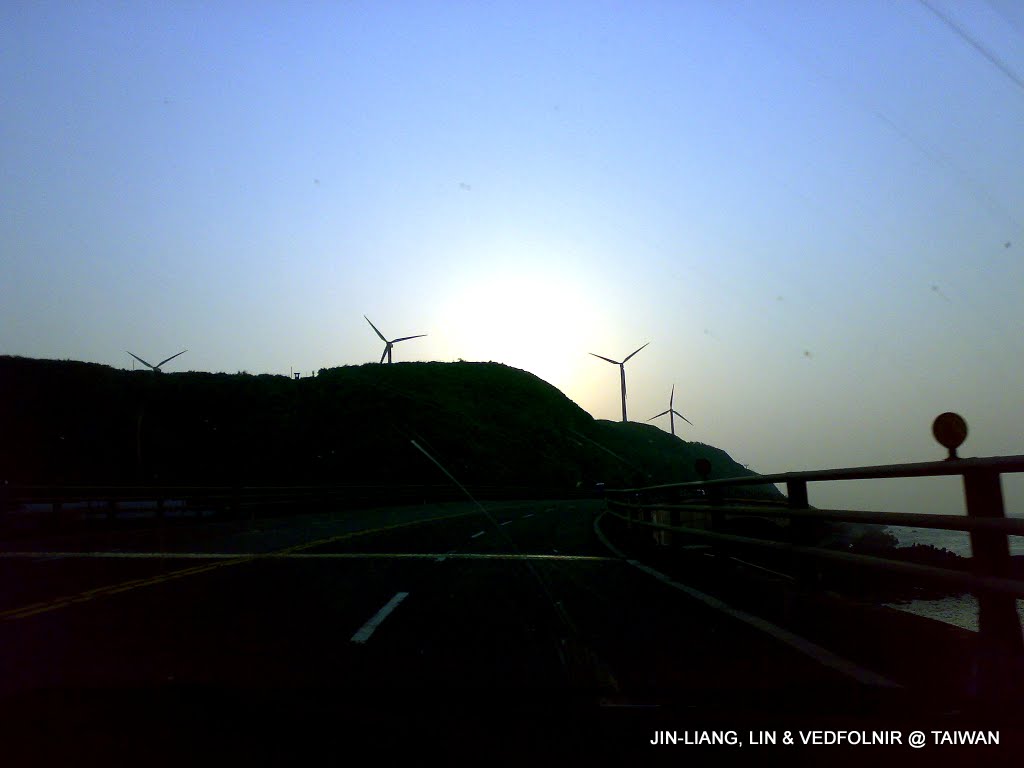
North Coast wind power generation site
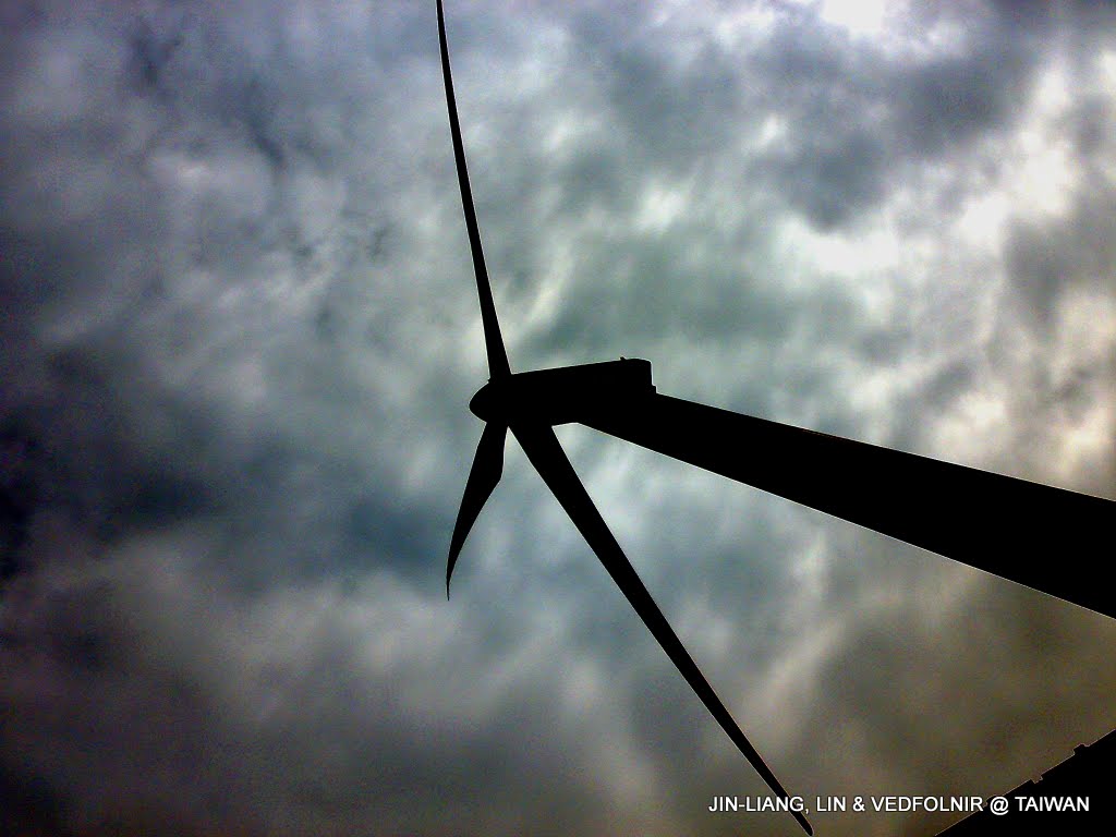
A massive wind turbine
Guandu Bridge
Strolling along Guandu Bridge provides an expansive, open vista. I captured this view with my phone and uploaded it to friends working hard at the office, hoping to give them a brief moment of relaxation.
Because this spot simultaneously picks up base station signals from several surrounding hills, communication performance is impressive.
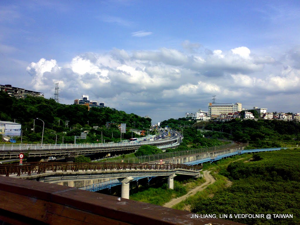
Overlooking toward Taipei from Guandu Bridge
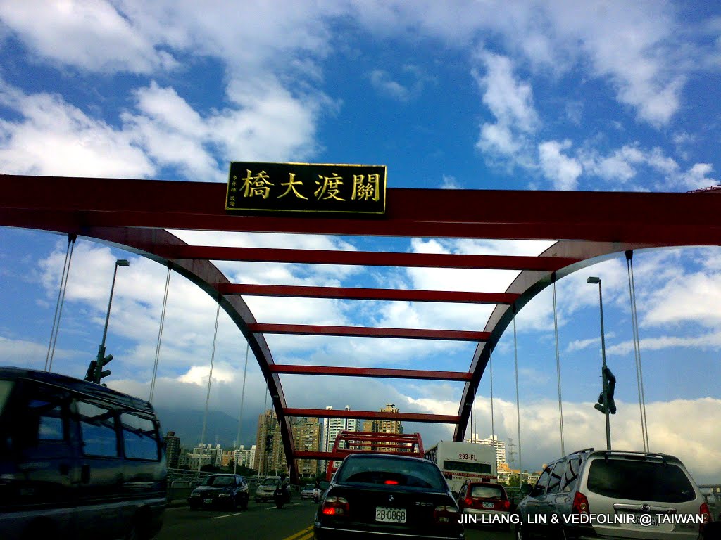
Guandu Bridge landmark sign
Macao Bridge and Sun Moon Farm Hot Spring in Yangmingshan
Yangmingshan is renowned for hot springs. In winter, rain and fog blanket the mountains; driving deeper inside often brings near-zero visibility. If you plan to soak in comfortable hot springs at Macao Hot Spring below Macao Bridge, Sun Moon Farm Hot Spring, or Macao Flower Village Hot Spring, take extra caution.
Influenced by the topography and weather around the hot spring zone, base station signals dip slightly, but uploading photos is never a problem.
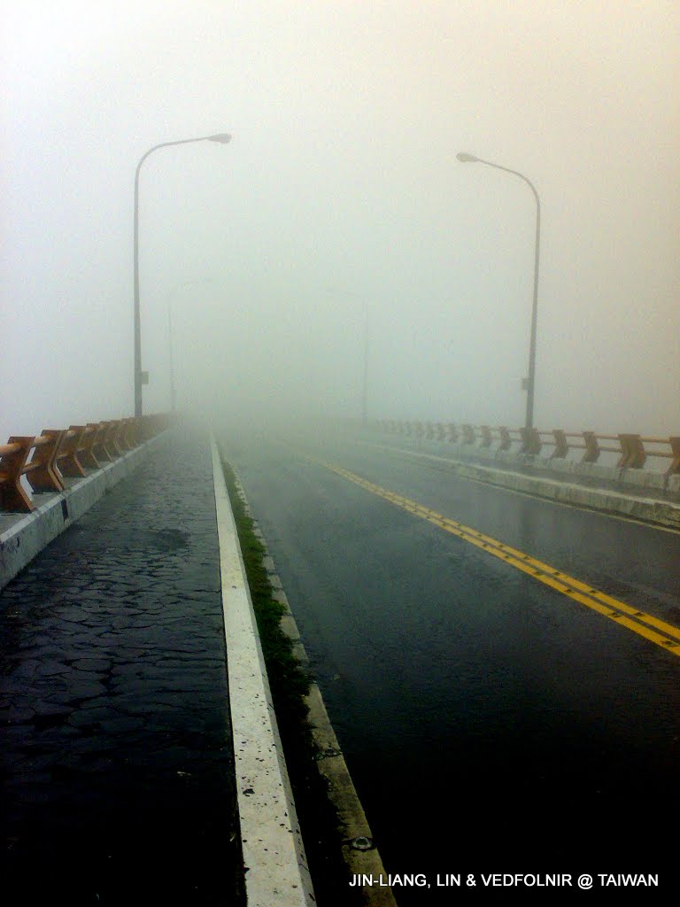
Macao Bridge in Yangmingshan
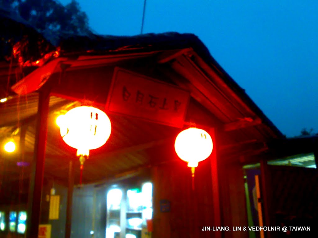
Sun Moon Farm Hot Spring
Cihu President Chiang Memorial Park in Daxi
Located at Cihu in Daxi Township, Taoyuan County, the Chiang Kai-shek Memorial Park displays bronze statues of the late President of the Republic of China, Chiang Kai-shek, gathered from across the island of Taiwan, radiating a rich nostalgic atmosphere.
Because the park is a major destination for domestic and international tour groups, signal quality here is outstanding.
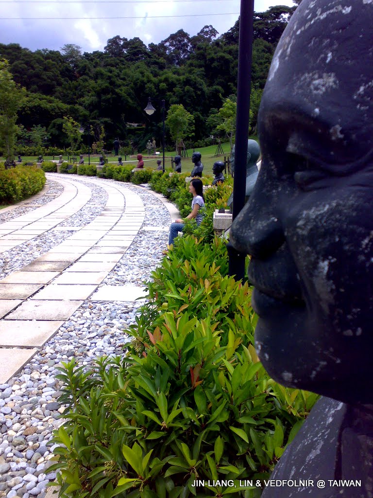
Statues of Chiang Kai-shek at Cihu Memorial Park in Daxi, Taoyuan
Nanzhuang, Miaoli
The Donghe Suspension Bridge in Nanzhuang, Miaoli, is located next to Donghe Elementary School. Being close to the town center, network performance is plenty sufficient for uploading photos.
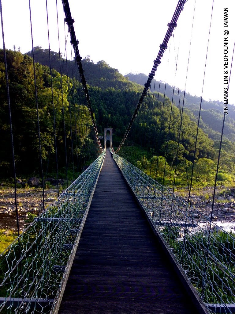
Donghe Suspension Bridge in Nanzhuang
Alibang Waterfall in Shimen, North Coast
Alibang Waterfall lies deep within the mountains of Alibang, Ganhua Village, Shimen Township. Venturing deep into the valley, cellular reception drops off sharply. Switching your phone to offline mode is advisable—this is truly what people call the deepest heart of the mountains.
Nevertheless, we can still photograph the highlights first and upload them once we exit the trailhead, treating it as a pleasant delayed transmission (smile).
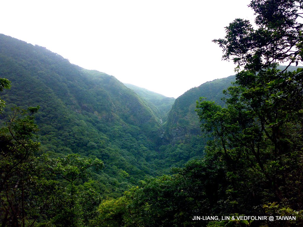
Distant view of Alibang Waterfall
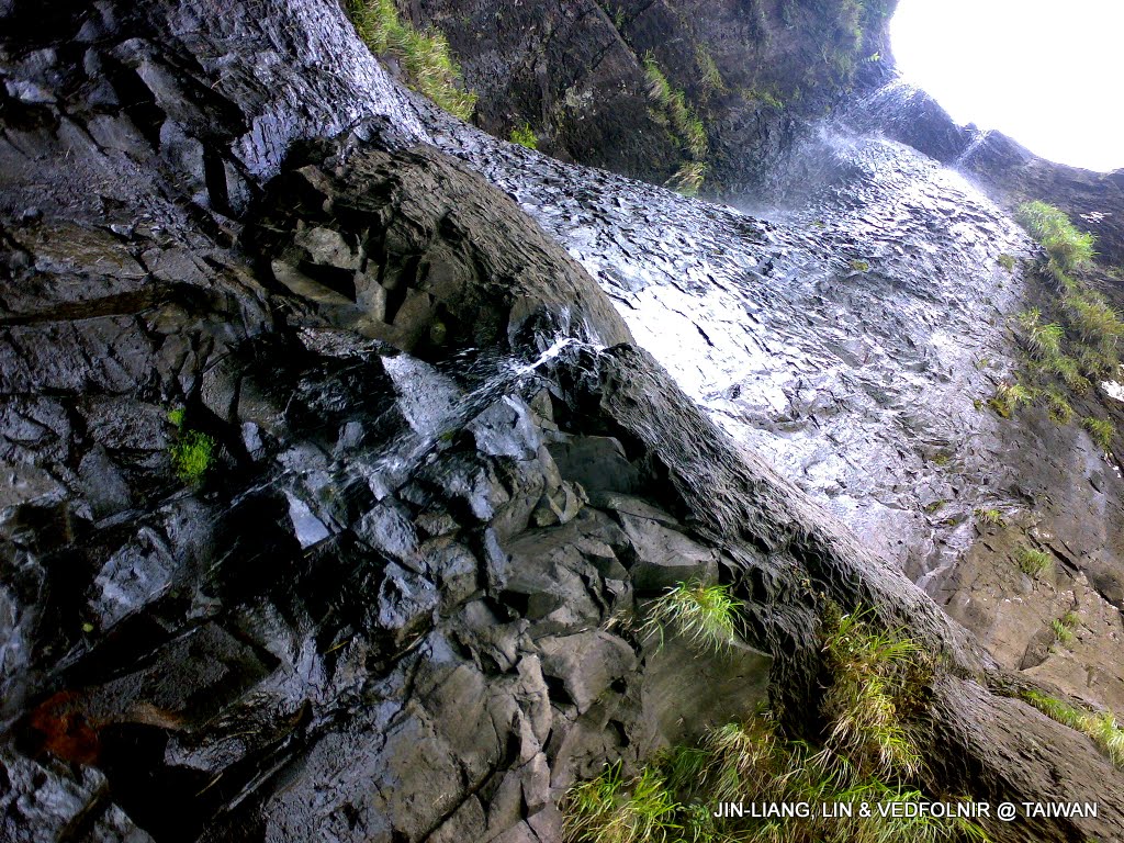
Alibang Waterfall in Shimen, North Coast
Xinyi Commercial District and Taipei 101
I often nickname Taipei’s eastern Xinyi District as “Xinyi Playground,” formed by clustered department store complexes like Shin Kong Mitsukoshi. Usually bustling with crowds, shooting here on a typhoon evening yields striking results.
Moreover, Taipei 101, the tallest building in the Republic of China, is always a top choice for photographers in light drizzle when illuminated at night.
Even amidst typhoon weather, mobile coverage in the eastern district stays completely full.
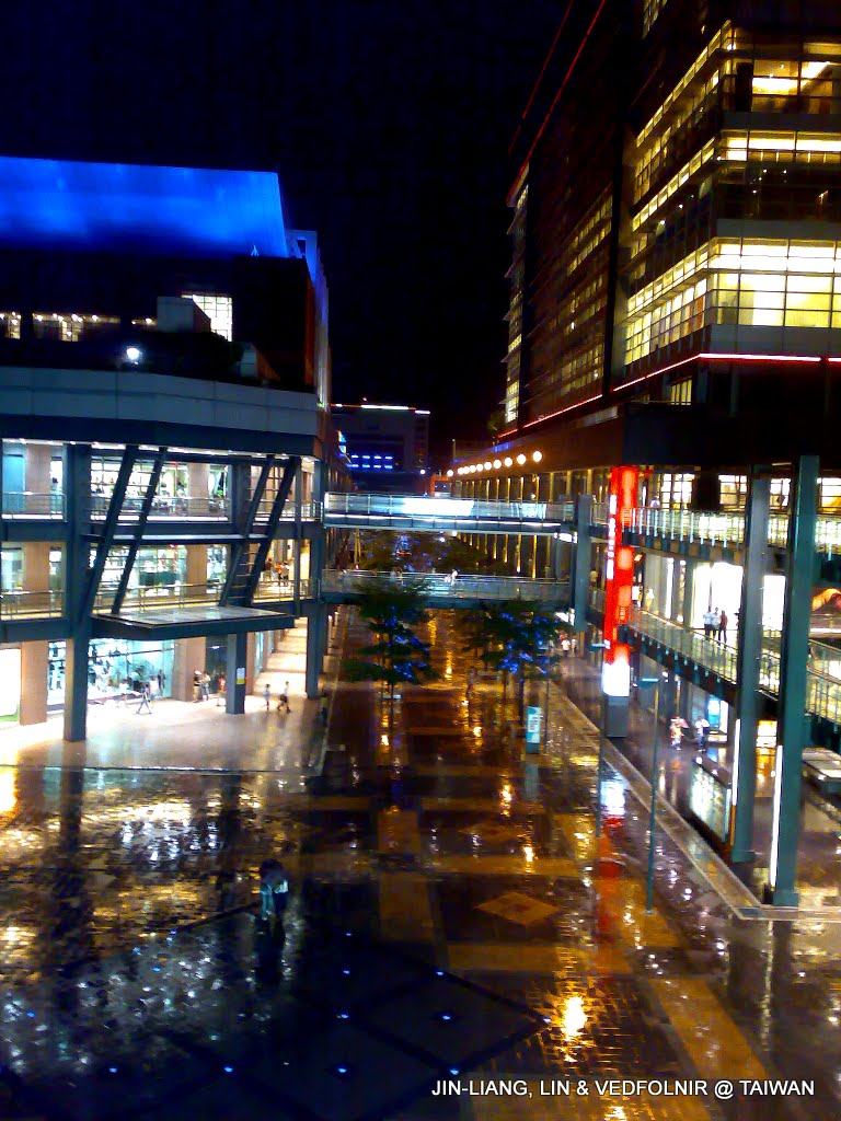
Xinyi Commercial District in Taipei City
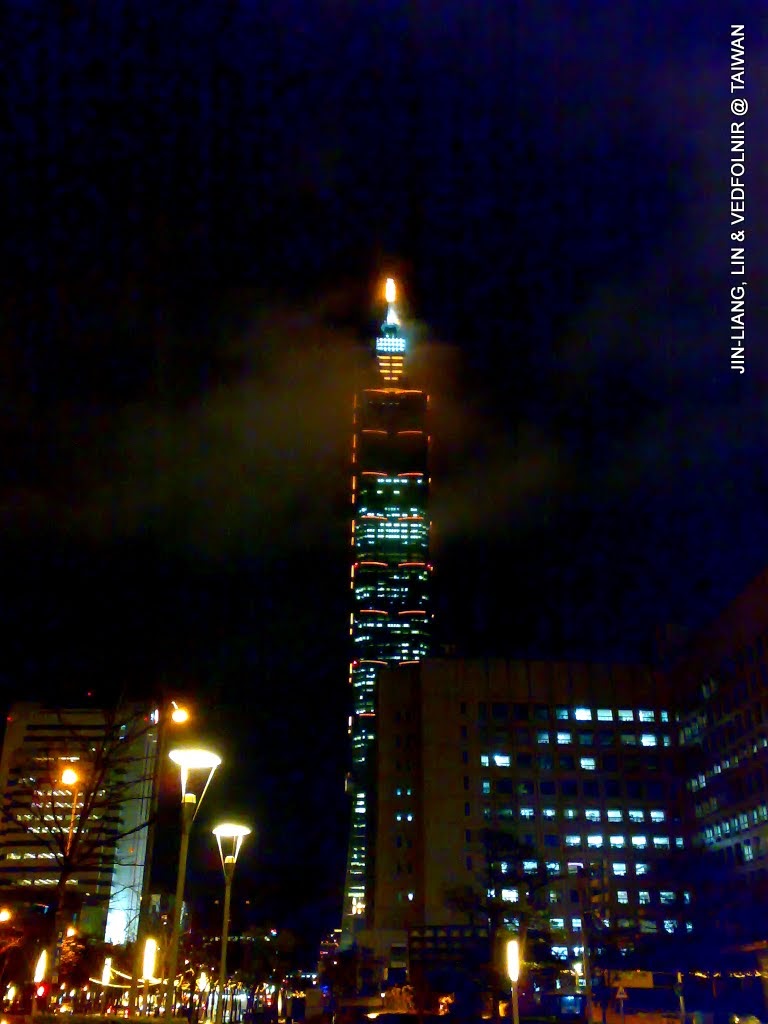
Taipei 101 Building
Sunset and Rainbow
One of the great joys of uploading photos on a mobile phone is instantly sharing a rainbow or gorgeous sunset whenever you encounter one, inviting everyone to appreciate the spectacle together.
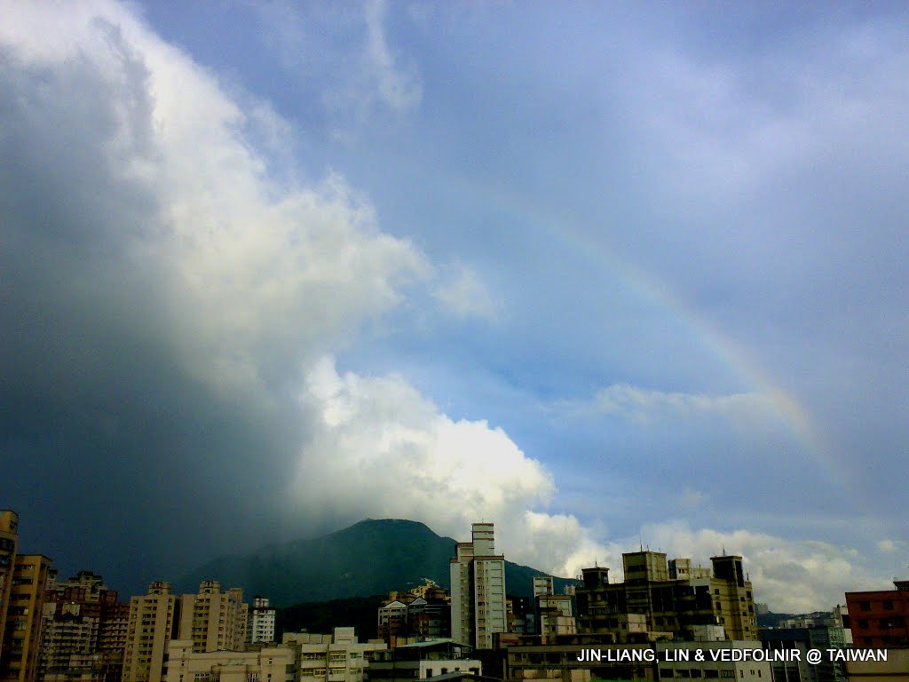
Rainbow over Tamsui
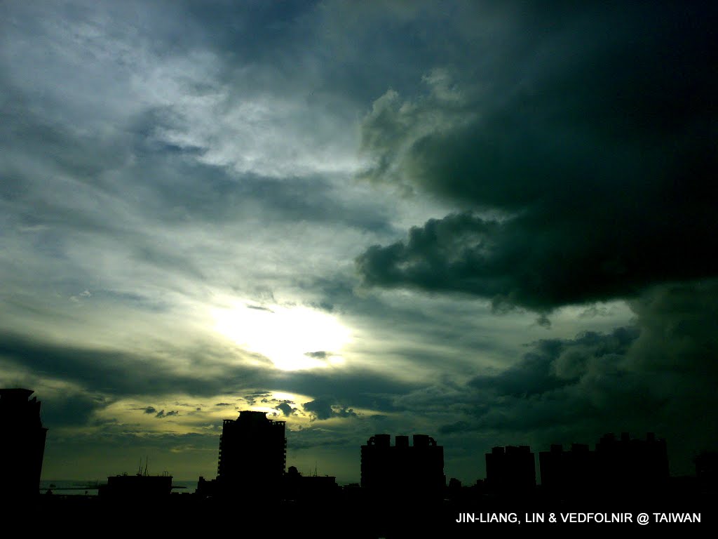
The workday is winding down
Typhoon Day
Once, traveling to Nantou with my good friend Tsung-Hsiang Hsieh, we were caught by Typhoon Krosa—the strongest typhoon of that year—on our journey home.
With raging winds and torrential downpours, the danger felt genuinely palpable (we even witnessed a giant water tank plummeting from a tall building just meters ahead of us).
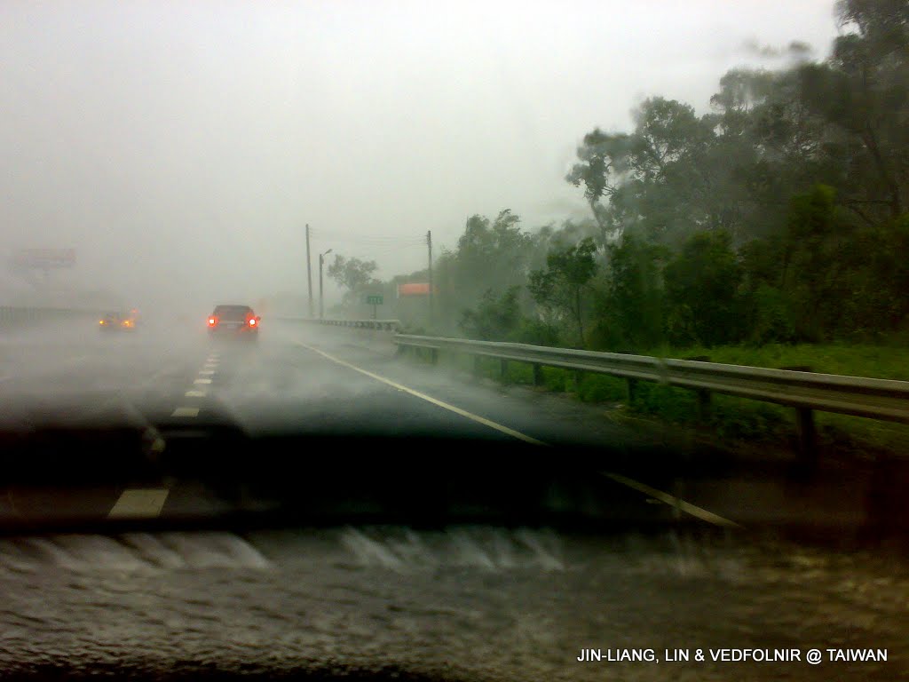
Typhoon Krosa striking
Typhoon Krosa Video Record
Mobile Navigation Map
Speeding down the road during the typhoon, I quickly photographed the stormy conditions outside on my phone and sent it along with our current GPS location map to friends, reporting on the emergency (well, more like showing off, actually).
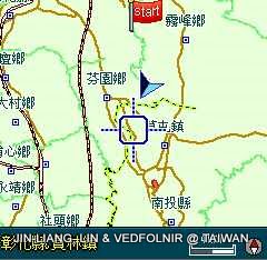
Locating position with GPS and instantly sharing with others
What deserves the highest praise about Chunghwa Telecom is that even through stormy conditions, mobile reception remained rock solid. Even the caring phone call from my beloved Wan-Chen never once dropped ^_^!
Kenting Sunset Glow
The sunset view at Kenting, situated at the southern tip of the island of Taiwan, was breathtaking. Tsung-Hsiang Hsieh and I drove along chasing the sunset, snapping photos with our mobile phones and sending them back to friends working hard in Taipei.
Although Kenting spans a wide geographic expanse, mobile signals remain strong, likely due to its status as a premier tourist zone.
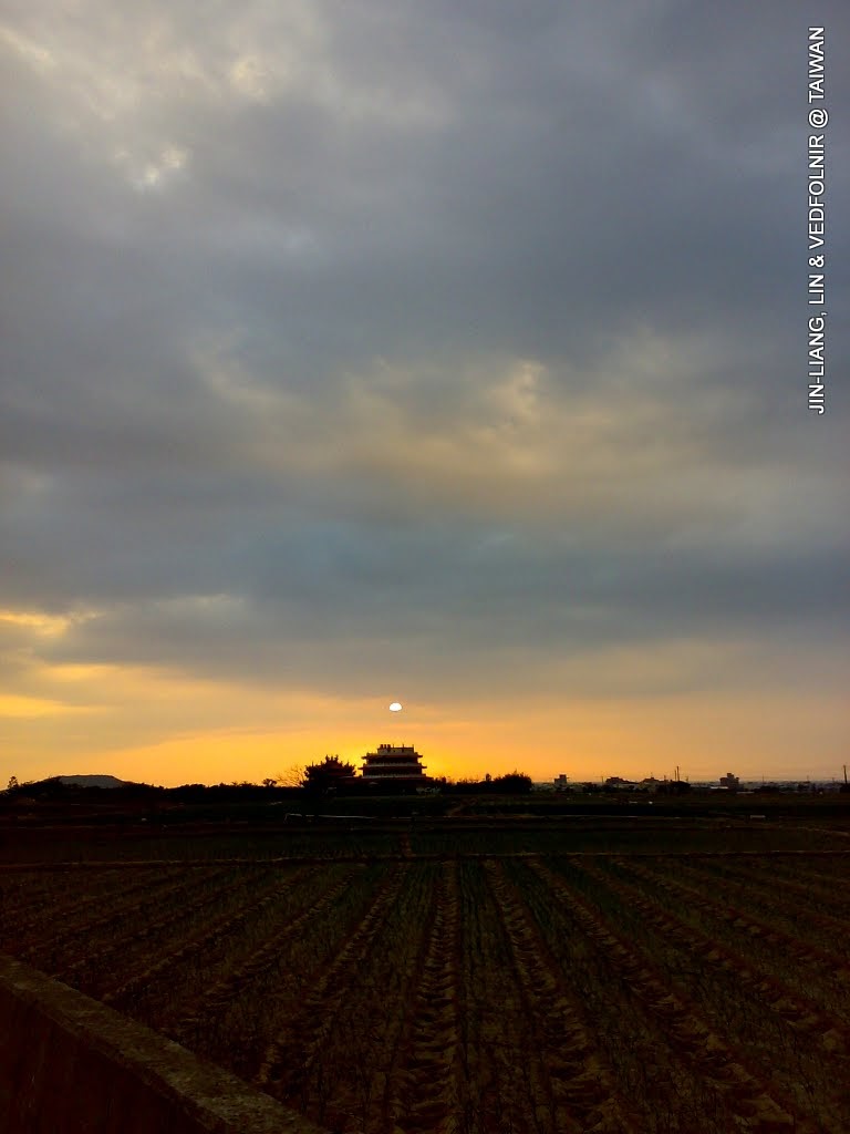
Kenting sunset glow
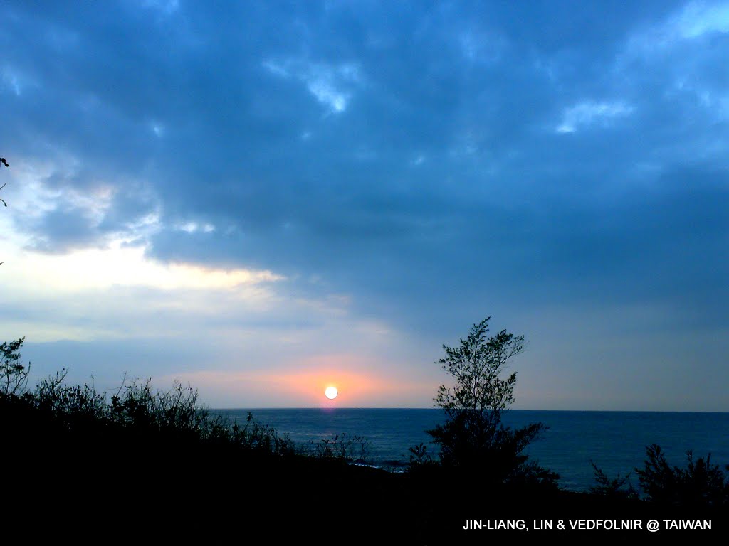
Scenic Kenting sunset
Mt. Jade (Yushan)
When heading into the mountains, I routinely take photos on my mobile phone to send to friends or upload online.
Since I frequently hike or trek solo, doing so not only shares the moment with dear friends, but also adds an extra layer of safety assurance.
The following seven photographs document my trek up Mt. Jade in Taiwan Province, the highest peak of the Republic of China. For further details, please refer to the article A Hiking Encounter at 3,953.8 Meters on Mt. Jade in Taiwan.
Naturally, signal was absent or faint along many stretches, so several photos were uploaded after descending the mountain the next day.
Miraculously, while Tsung-Hsiang and I moved separately on the trail, we managed to stay in touch purely via mobile phone. Reaching the main peak, we could even make voice calls! (Truly astonishing.)
On a side note, the eastern hollow on Mt. Jade’s main peak provides shelter from the wind but lacks mobile signal.
Conversely, the elevated platform on the western side of the main peak (beside the summit boulder) faces buffeting winds yet offers reception to make calls. Naturally, reporting safety to my beloved Wan-Chen was an absolute must (yes, showing off again!).
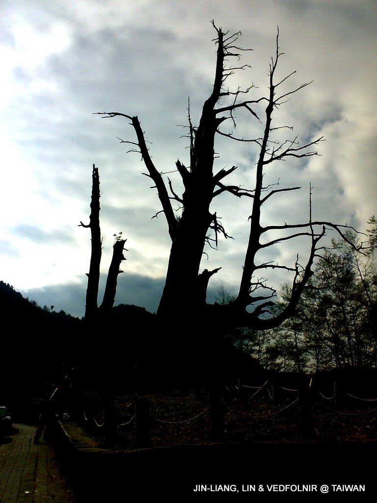
Husband and Wife Trees in Alishan
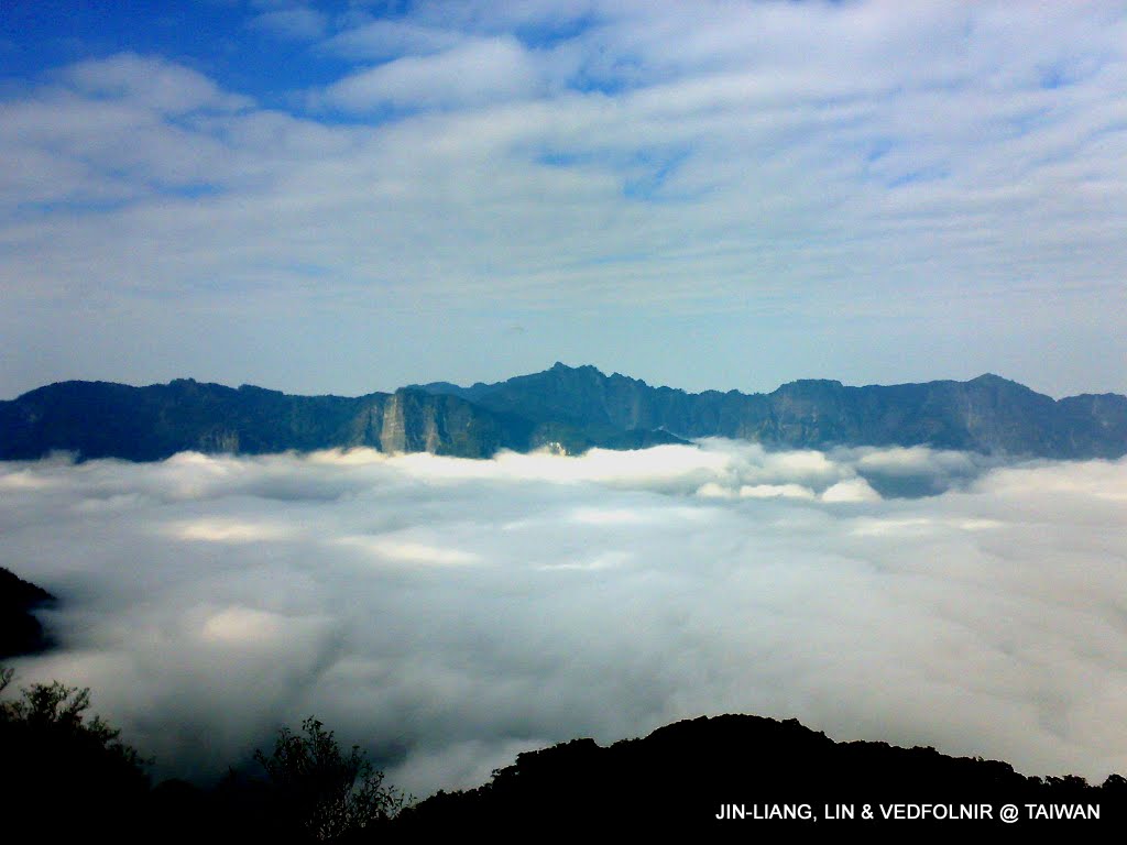
Mt. Jade and sea of clouds
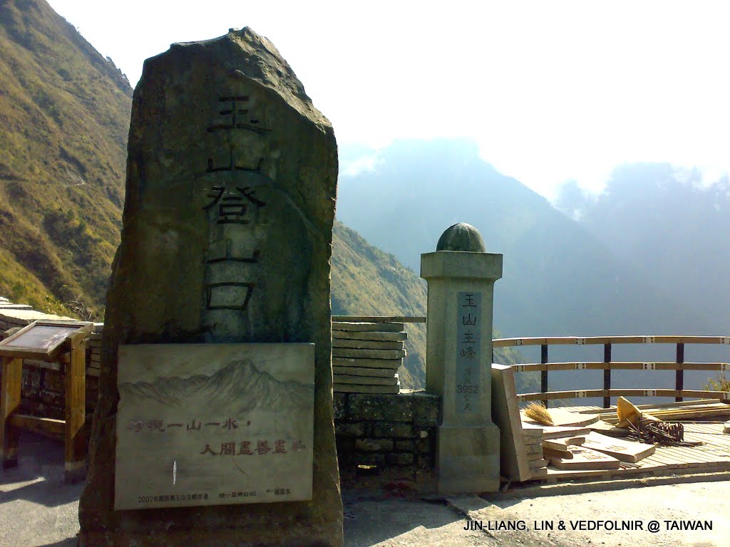
Mt. Jade Trailhead
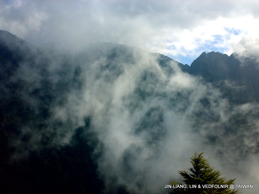
Mountain trail wrapped in mist
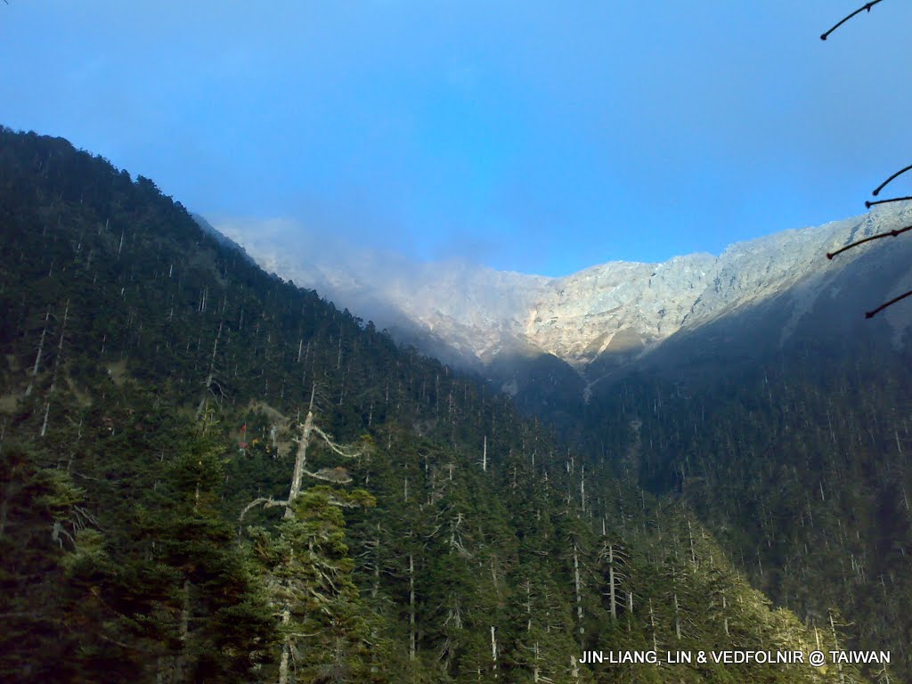
Mt. Jade West Peak
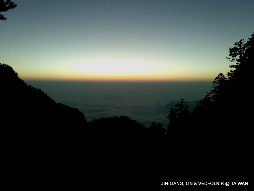
Sunset viewed from the heights of Mt. Jade
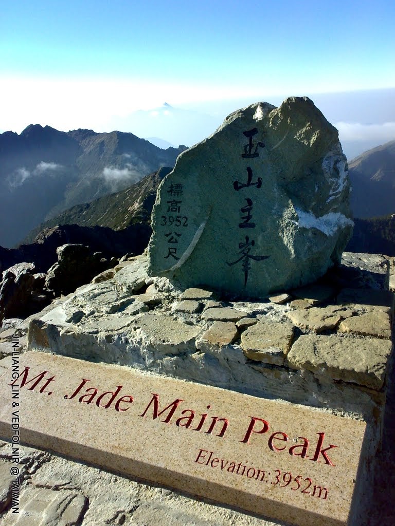
Mt. Jade Main Peak (site of former Yu Youren bronze statue)
Fulong Bathing Beach
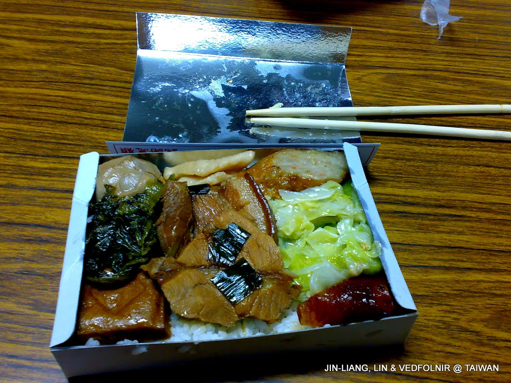
Visiting Fulong, the rock music sanctuary in Gongliao Township at the northeast corner of the island of Taiwan, observing the rhythmic ocean waves at the beach is essential, but tasting the local vintage-style railway bento is equally indispensable. Relishing old-school flavors every now and then is wonderful.
Because Fulong is well developed, signal quality is reliable, making uploading appetizing food shots effortless.
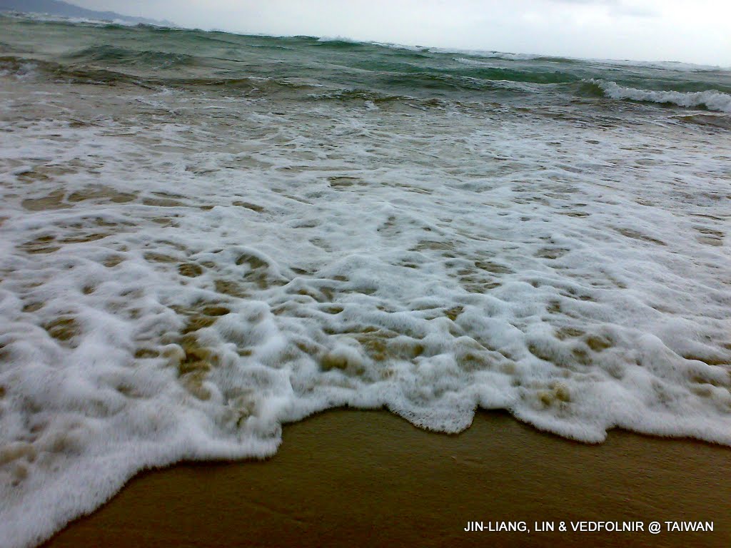
Fulong Bathing Beach in New Taipei City
National Palace Museum
The world-class museum that the Republic of China takes the most pride in—the “National Palace Museum”—is a flagship of our tourism industry. Naturally, communication quality in this area is top-tier.
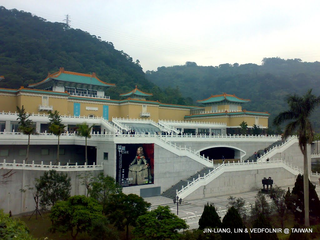
National Palace Museum
City Rambles
Wandering along Chongjian Street, the oldest street in Tamsui, stumbling upon a lovely blossom; strolling through Dihua Street during the Lunar New Year market; browsing Shenkeng Old Street famous for tofu; or encountering impromptu fireworks displays—any beautifully composed scene can be captured immediately on a mobile phone and uploaded for loved ones to enjoy.
This portability is why a lightweight mobile phone serves as such an indispensable companion for a nature photographer.
As stated at the beginning, mobile signal quality across towns and cities is practically flawless.
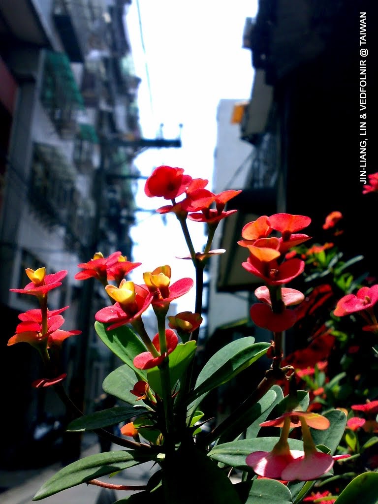
Wildflower on the roadside of Chongjian Street
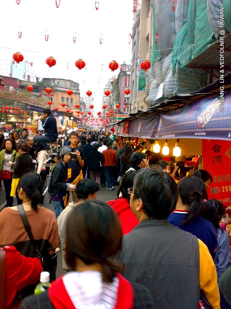
Crowds on Dihua Street in Taipei
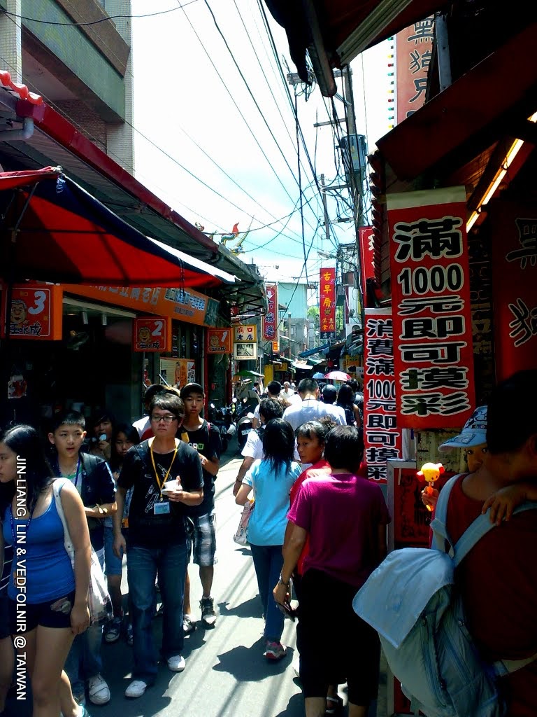
Crowds at Shenkeng Old Street in New Taipei City
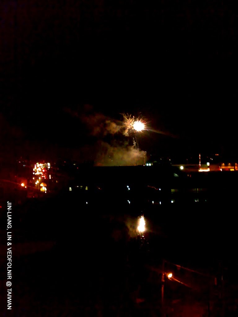
Evening fireworks display
Qixing Mountain and Xiaoyoukeng in Taipei
Qixing Mountain, the highest peak in the Taipei basin, can be climbed from the Xiaoyoukeng recreation area along stone steps.
As noted earlier, network infrastructure around Yangmingshan is very mature, and Xiaoyoukeng has minimal obstructions. Most parts of the trail receive cellular signals adequate for uploading photos.
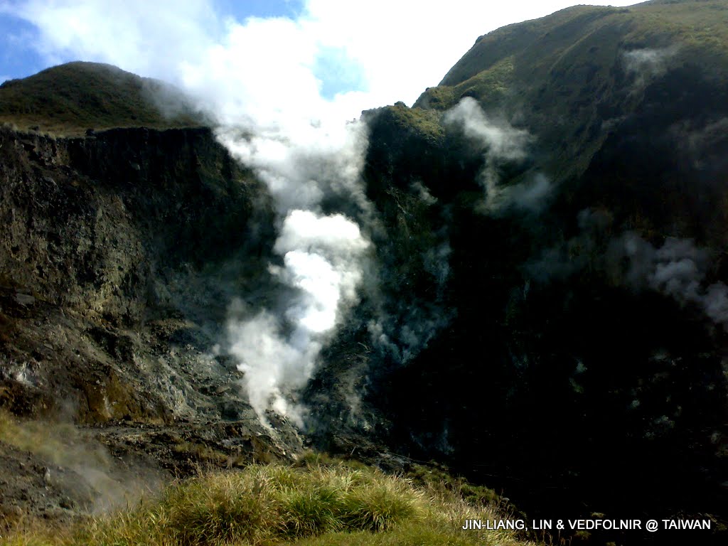
Steaming Xiaoyoukeng on Yangmingshan
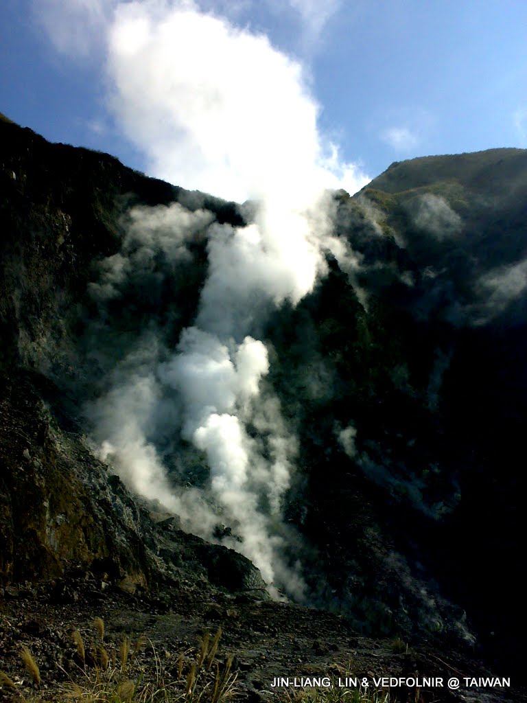
Close-up of Xiaoyoukeng
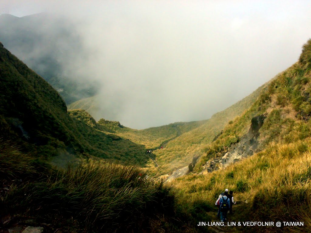
Ascending the trail, looking back downward
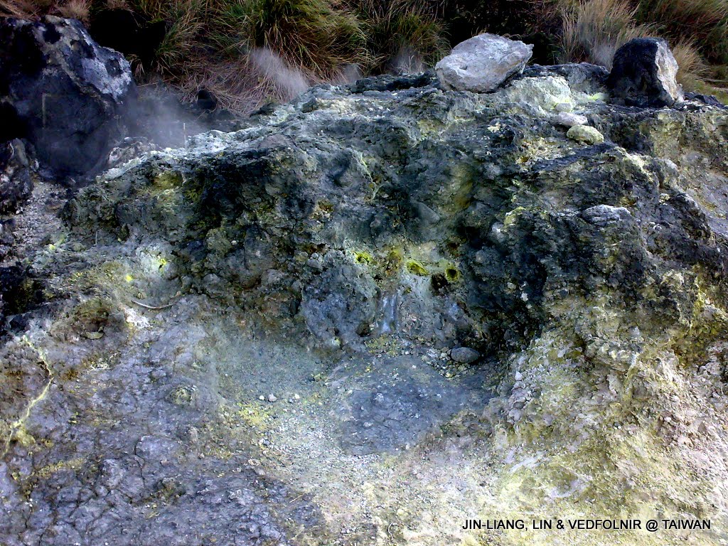
Sulfur deposits visible everywhere at Xiaoyoukeng
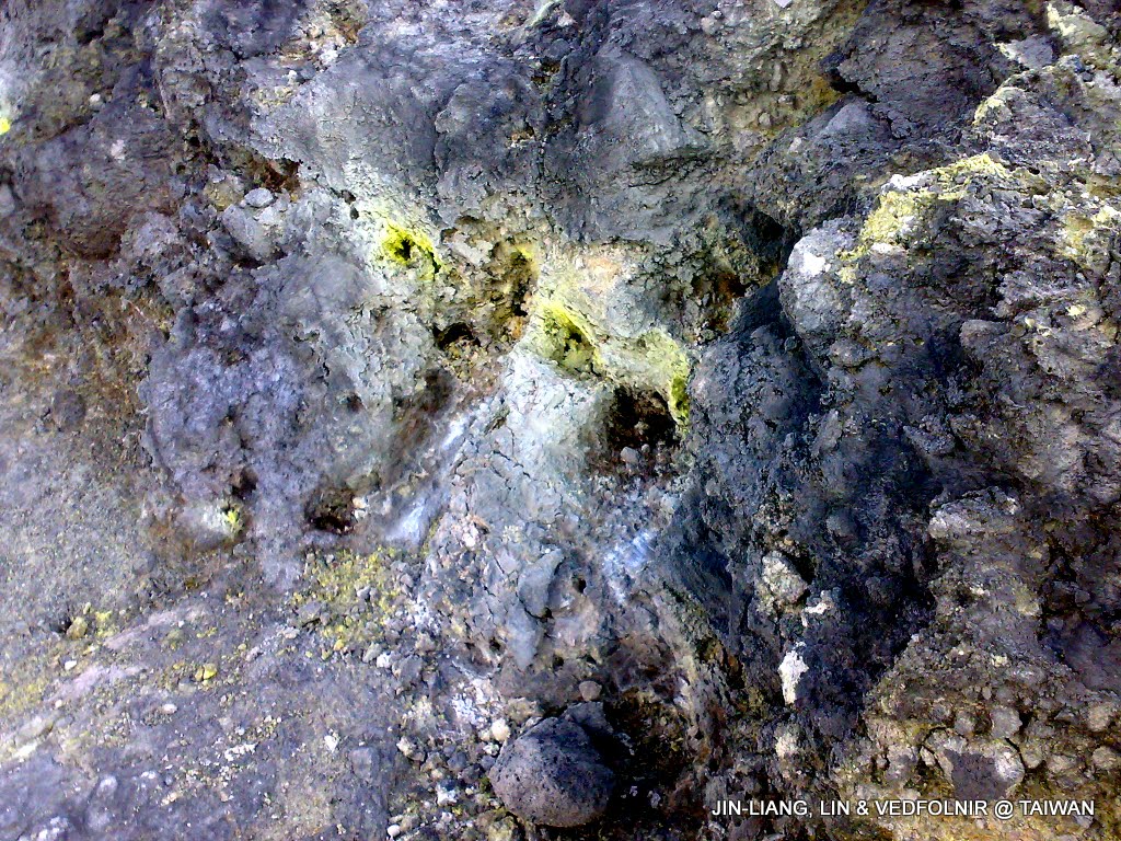
Close-up of sulfur crystals
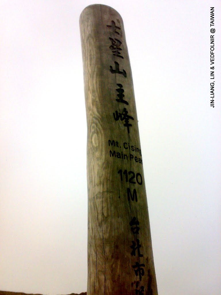
Wooden marker marking Qixing Mountain Main Peak
Bitan in Xindian
Bitan in Xindian, New Taipei City, is one of the favorite recreation spots for residents of greater Taipei. Besides offering a clean, expansive lake surface for dating, paddle-boating, and relaxation, convenient public transit is a major draw.
Crowds signify development, so telecommunication quality here is superb. However, using your phone while pedaling a watercraft makes you worry about dropping it into the water (smile).
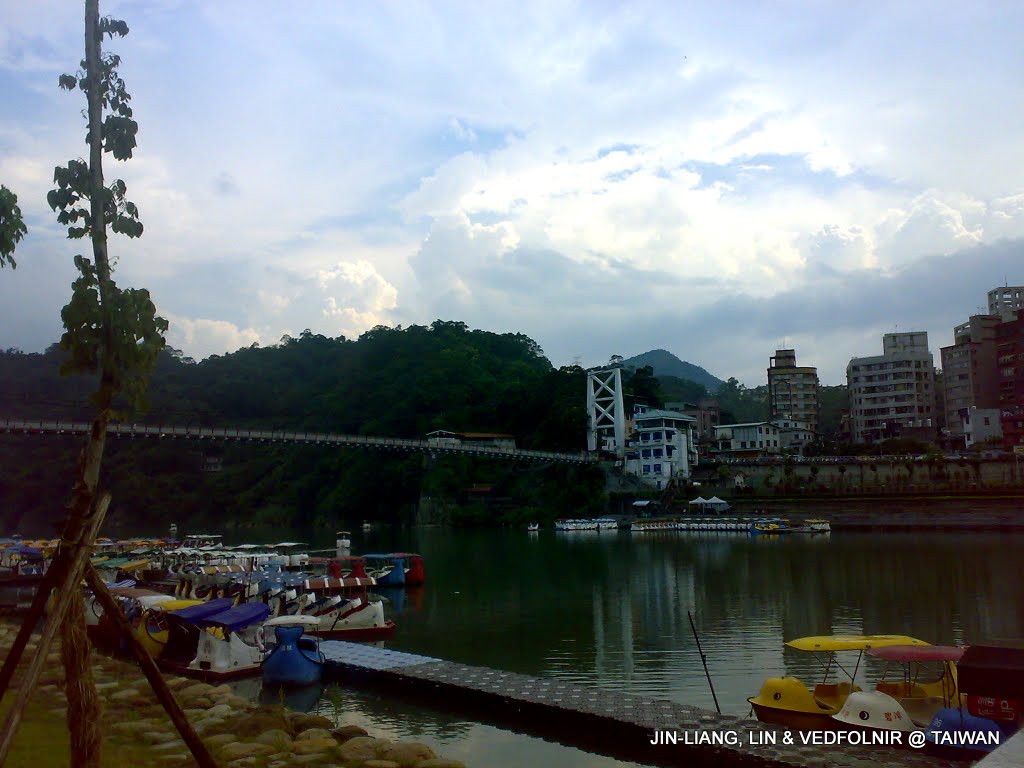
Bitan in Xindian
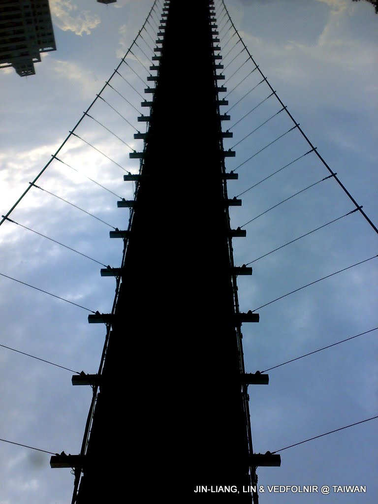
Bitan Suspension Bridge
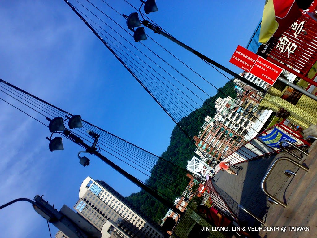
Front view of Bitan Suspension Bridge
Finding Gourmet Restaurants
Nature photographers get hungry too. Venturing into unfamiliar territory, we can take advantage of GPS positioning and mobile search to quickly look up nearby restaurants and browse online reviews.
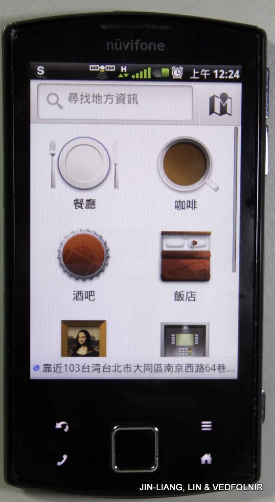
Local lifestyle search using satellite and mobile data—full signal in downtown Taipei!

Searching for restaurant reviews
Sanxing, Yilan
When visiting Sanxing Township in Yilan, two culinary specialties are non-negotiable: “Sanxing Scallion Pancake with Egg” and “Bo-Bah” (fried pork fritters). Though sold at different stalls, grabbing both has virtually become a standard set meal.
Sanxing scallion pancakes feature the local pride—Sanxing scallions (with egg!). Meanwhile, Bo-Bah delivers authentic traditional comfort flavor. The portions are generous, so couples should order mindfully!
While indulging, feel free to snap photos with your phone and send them to friends to make their stomachs rumble (smile).
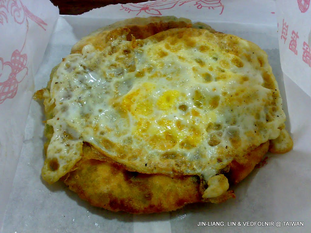
Sanxing scallion pancake with egg
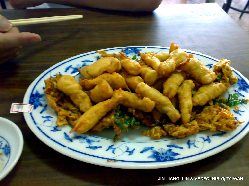
Yilan Bo-Bah pork fritters
Taipei Songshan Airport
A photo taken in the boarding lounge of Taipei Songshan Airport while waiting for a flight to National Taitung University for an academic seminar.
Although mobile devices cannot be used during flight, the airport terminal itself provides exceptional connectivity.
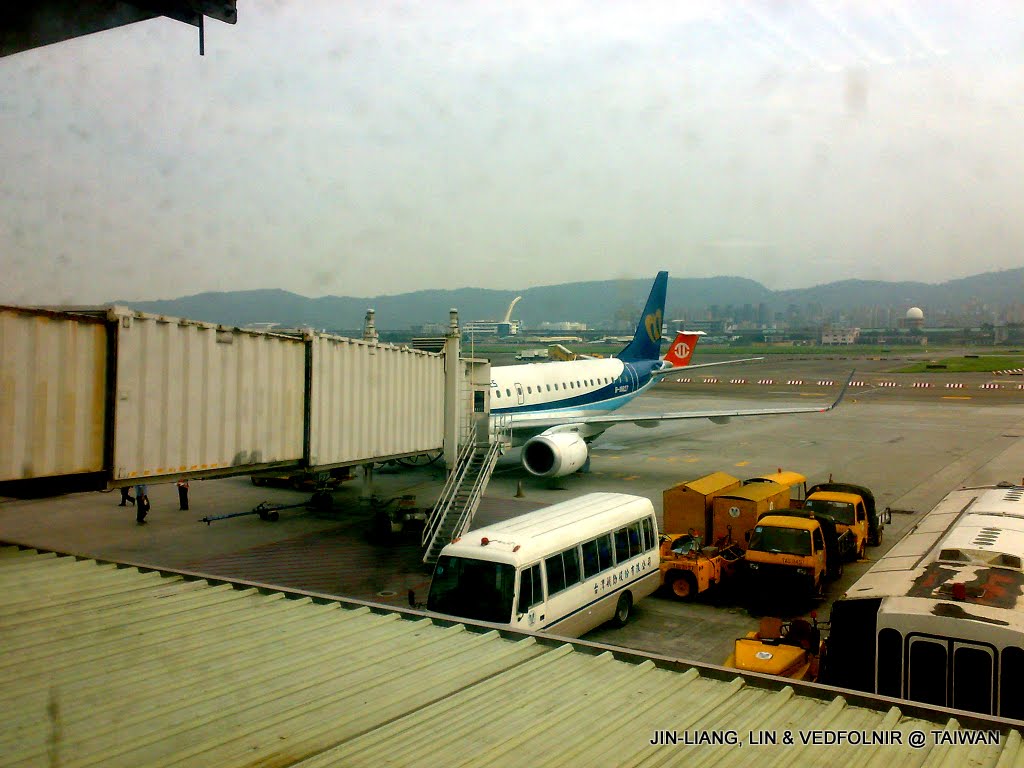
Songshan Airport departure lounge
Wushi Harbor in Yilan
Over the summer, I volunteered with the Cetacean Society at Wushi Harbor in Toucheng Township, Yilan. I transmitted maritime sceneries and volunteer moments on my phone, sharing the ocean’s splendor with loved ones.
Surprisingly, even while aboard a whale-watching boat out at sea, mobile reception held up well enough to send photos (though venturing just a little further out was game over).
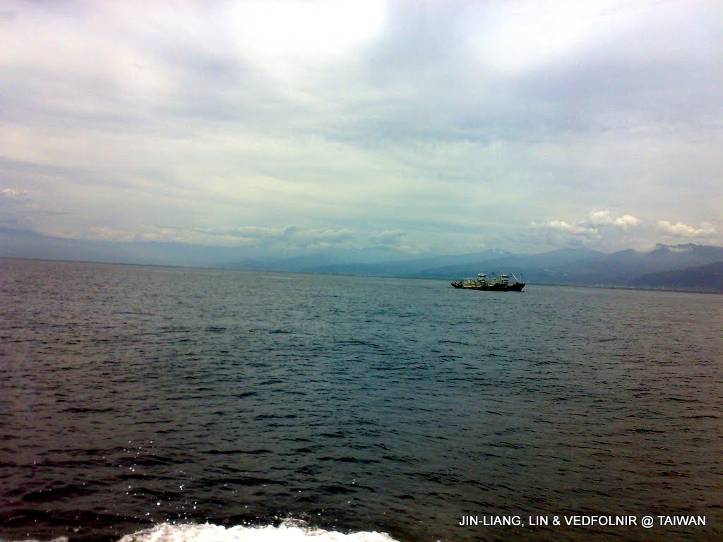
Heading out on a whale watching boat in Yilan
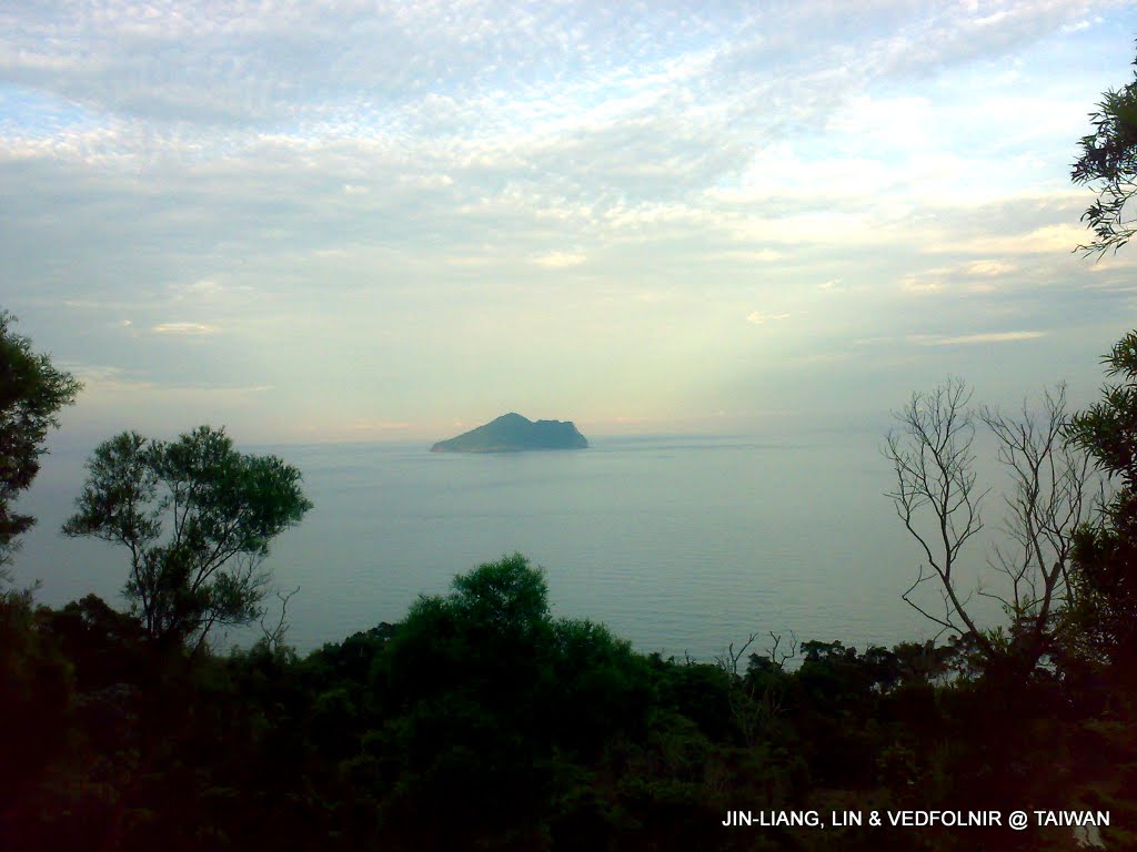
Distant view of Turtle Island (Guishan Island)
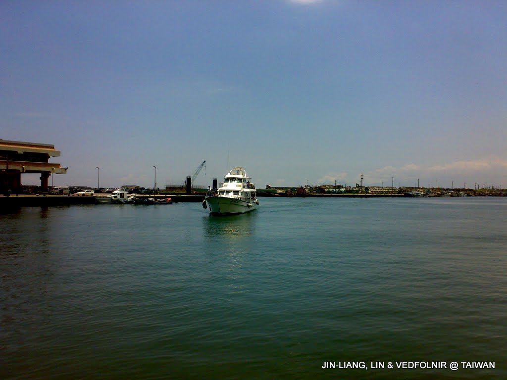
Whale watching boat returning to harbor, ready to collect survey sheets
Sharing Photos on Social Networks via Mobile
You might ask: how do we use mobile phones to upload photos and share them with friends?
Platforms like Facebook and Skype are immensely popular. In the two screenshots below, I uploaded photos to Facebook to share with friends.

Sharing photos of the workplace on Facebook with full signal!

Connecting to Skype via mobile data for real-time sharing and interaction
Finally, traveling to destinations via public transportation is often a lengthy trip.
In my experience, national expressways consistently offer stellar mobile connectivity, allowing everyone to browse the web and pass the time on long journeys.
However, when riding a train through long tunnels in the remote mountains of Taitung, phones will momentarily lose signal. During those moments, take the opportunity to enjoy the scenic vistas outside (smile).
Every photograph above holds precious memories from travels taken alone or with friends. Sharing them in real time and engaging in two-way conversations creates a sentiment completely different from sorting out photos long after the trip is over.
I hope everyone can make great use of technological progress to enrich our daily lives and craft more unforgettable, heartwarming experiences. Wishing everyone the best!
Support Independent Perspectives & In-Depth Insights
Every thoughtful analysis and candid critique comes from our dedication to truth and quality. We choose not to follow sensational algorithms or clickbait headlines.
Sustaining independent research requires reader support. Make a one-time or monthly contribution, securely processed by Google.
Payments secured by Google · Manage or cancel anytime in your Google Account


Comments