
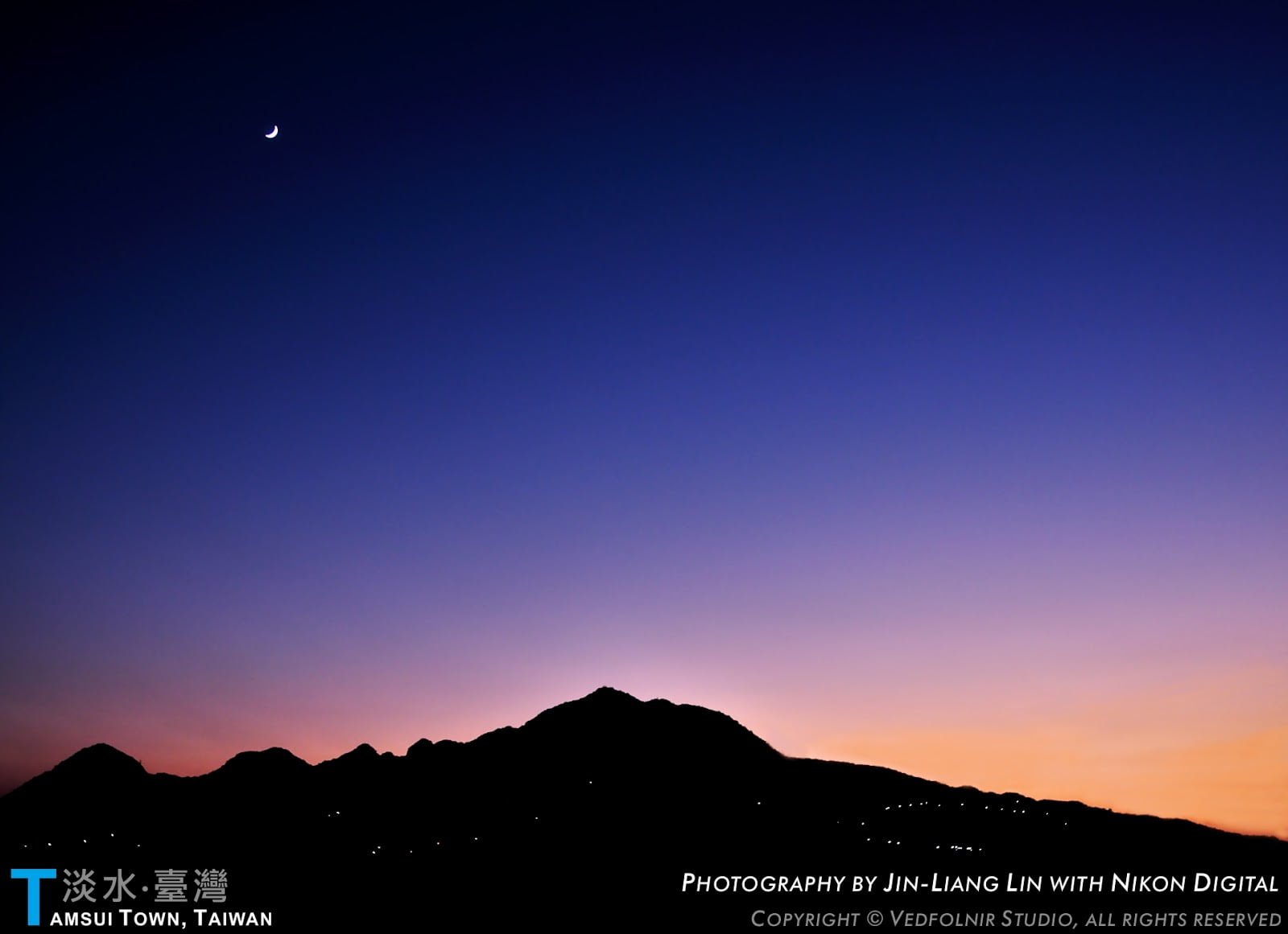
March snow dusted the high mountain ranges across Taiwan Province, Republic of China, capping the peaks in brilliant white. Early morning temperatures in coastal Tamsui plunged to a rare 3.8°C, bringing us tantalizingly close to witnessing snowfall across the historic port town.
On this brisk, chilly day, I arranged to climb the Datun Creek Historic Trail with my mother and close friend, Hsieh Tsung-hsiang. Nearing midday, our party of three set out in the Mizuc-mobile along the mountain roads of Beixinzhuang, making a right turn after spotting the "Huaguan Glass" signpost.
Navigating the narrow industrial track past the historic Sanban Bridge, a narrower access path appeared on the right. An open roadside turnout provided ample room to park, where we geared up and organized our trekking supplies.
As a word of advice, I strongly discourage low-clearance vehicles from driving directly up this farm road; past typhoons have washed out the upper stretches with rockslides, leaving severe ruts. Those blessed with exceptional driving courage and deep pockets are welcome to drive straight through, sparing themselves roughly ten minutes of walking to the trailhead.
The Trailhead of Datun Creek Historic Trail
Walking up the narrow side track for about ten minutes, we crossed paths with an older gentleman accompanied by several senior women heading down—clearly hikers finishing their trek.
After exchanging warm greetings, my mother whispered that the gentleman was a familiar actor from television dramas. No matter how hard we racked our brains, neither of us could place his name. Regardless, focusing on our own mountain journey was what truly mattered.
Our previous preliminary scouting of Datun Creek had followed heavy rains; we turned back after reaching roughly the 2 km mark at an elevation of 496 meters (N25.20124, E121.52880). With only three hours before sunset and the remaining trail distance unknown, prudence dictated turning back.
Returning one week later around midday, we stood at the trailhead far better equipped. Our gear included a Garmin professional GPS satellite navigator, trekking poles, warm drinking water, trail rations, insulated layers, wool beanies, gloves, sturdy hiking boots, headlamps and flashlights, plus three utility knives.
Flashlights and field knives are always staples in my pack, but this time we carried specialized blades (since having Tsung-hsiang along allowed us to distribute the load comfortably).
Exploring the Historic Wilderness Trail
Despite the biting cold air, we warmed up vigorously within minutes of hiking, prompting layers to come off. We had the trail entirely to ourselves; after passing that initial group of hikers near the entrance, we encountered not another soul all day—either because of the winter chill, or simply because Datun Creek remains delightfully uncrowded.
Unlike commercial scenic parks, the Datun Creek Historic Trail has not been heavily trodden, preserving its raw, primeval character without artificial stone steps.
Rigid stone staircases inflict immense wear and tear on hikers’ knees. Unless intended for accessibility to help the elderly navigate gentle walks, I strongly oppose installing concrete stairways in nature reserves. Even where stone paths exist, I prefer striding along flanking dirt paths and soft undergrowth, both for fun and to safeguard joint longevity.
Up until the major fork (where both subsequent paths turn grueling, marked by strewn work gloves and ribbons left by mountaineers who turned back), the trail is relatively manageable, requiring scrambles on all fours only across select steep sections. Trekking poles proved invaluable here.
Along the way, hikers must cross the rushing creek at least six times. With torrential rains preceding our hike, the stream was swollen and turbulent. Inevitably, water seeped into everyone’s boots. Wet footwear in winter mountains is a serious liability, planting the seed of retreat in our minds.
Reaching the ancient turnaround tree at the end of the valley, a fork appeared offering a climbing route to the summit. We chose the right-hand ascent—which marked the beginning of an escalating series of mishaps.
Navigating the Dense Bamboo Jungle
The trail began mildly enough, but dwarf bamboo (Yushania niitakayamensis) quickly thickened. Soon, our entire party was enveloped in an unbroken bamboo jungle. Crouching low and ducking through the narrow tunnel demanded grueling effort, leaving us wondering whether we had inadvertently strayed onto animal game trails.
The maze of faint tracks made navigation tricky. Fortunately, mountaineering ribbons appeared at crucial junctures, keeping us on track.
At the time, little did we know that our summit ambitions were about to collapse.
The Slick Mud Wall to the Summit
Emerging from the dense bamboo into open air, we looked back to behold a magnificent panoramic vista stretching across Mount Datun, briefly renewing our spirits. Yet as we pressed forward, the slope turned relentlessly steep and dangerously slick, transforming into a sheer mud track stripped bare of rocks and roots.
The entire path was pure wet slurry, flanked only by sparse bamboo stalks for handholds. Days of persistent rainfall had softened the incline into a slippery mud ramp. As we neared the ridge, the grade exceeded 45 degrees, eventually presenting near-vertical 80-degree headwalls where bamboo stems grew too brittle and sparse to bear weight safely.
With winter dusk approaching at 4:30 PM, subpar footwear traction, and no rope anchors, we held an urgent trail council. Daylight drops rapidly in winter; I estimated we had barely minutes to decide. Pushing upward risked getting stranded on an impassable face; retreating downward, while long, guaranteed escaping the bamboo thicket to the main fork before total darkness set in.
I would far rather hike down an open valley by flashlight than wander blind inside a pitch-black bamboo maze, where missing a faded ribbon could send someone tumbling down a precipice.
Hearing my assessment, everyone immediately agreed that safety took precedence. We abandoned the summit attempt and turned back.
Tactical Retreat: Downhill Mud Sledding
Descending treacherous terrain always proves more demanding than ascending. On the way up, we had virtually hugged the slope on hands and knees while gripping bamboo roots. Going down, any stumble or loss of balance risked a catastrophic fall down the mountain face. Realizing the path was entirely churned mud anyway, I decided to sacrifice a pair of trousers: I sat down and slid the whole way down (laughs).
If anyone had trained a spotting telescope on us from below, they would have seen three adults riding an epic, high-adrenaline mud slide down the mountainside.
Once back inside the bamboo belt, rocks and branches reappeared underfoot, but the damp mud cushioned our descent comfortably. We continued sliding wherever possible, shedding elevation rapidly without expending precious stamina.
Only after returning home did I discover several worn holes in my pants, while my long-serving black expedition outer shell had suffered severe abrasions around the seat.
Escaping the Darkened Forest
We managed to clear the dense bamboo belt before twilight faded entirely. Regrouping, we marched swiftly along the valley path, driven by a singular urge: reach the car safely, return home, and take a steaming hot shower.
As expected, midway down the valley, darkness enveloped the forest completely. The wilderness grew pitch-black and inscrutable. Fortunately, my pack held two tactical flashlights. Tsung-hsiang and I brought up the rear, illuminating the trail ahead for my mother in single-file formation.
Fortune favored us; we made only one wrong turn. During our afternoon ascent, I had noted an ambiguous side path that might mislead us on the descent. Sure enough, my prophetic caution proved true, and we had to backtrack for ten minutes by flashlight before recovering the proper trail.
The Lost Garmin GPS Navigator
Our harrowing descent held one more painful casualty. During our retreat through the dark, my waist-mounted Global Positioning System (GPS) navigator, a Garmin 60CS, vanished into the night!
I suspect it was dislodged during one of the precarious creek crossings. In the pitch black, an unstable boulder shifted underfoot, sending me tumbling directly into the frigid stream.
At that frantic moment, escaping the mountain took absolute priority, and I did not realize the unit had snapped off. When I noticed it missing further down the trail, I weighed returning to search for a split second: absolutely out of the question!
Emerging Safely into the Starlight
Swallowing the financial sting, I urged everyone onward. In a dark wilderness, uncalculated risks can spiral into genuine peril.
Around 7:30 PM, our trio finally stepped back onto the road at the trailhead. Utterly drained, we collapsed onto the ground under a canopy of brilliant winter stars, washed over by the profound relief of safe return.
Soaked from head to toe, we piled into the car and drove steadily back to my home. After hot showers and a piping-hot meal, we collapsed into our beds, deeply appreciating the simple luxury of warm safety.
Datun Creek Historic Trail Expedition Summary
- Date: March 5, 2005.
- Route: Tamsui Home → Datun Creek Historic Trail.
- Party: Mizuc, Mom, Hsieh Tsung-hsiang.
- Vehicle: Mizuc-Mobile (STRAY).
- Maximum Altitude Reached: 900–1000 meters (Summit turnaround point).
Support Independent Perspectives & In-Depth Insights
Every thoughtful analysis and candid critique comes from our dedication to truth and quality. We choose not to follow sensational algorithms or clickbait headlines.
Sustaining independent research requires reader support. Make a one-time or monthly contribution, securely processed by Google.
Payments secured by Google · Manage or cancel anytime in your Google Account



Comments