
To immediately discover whether someone is a navigational novice or a wayfinding genius, hand them a city street map, ask them to pin a specific landmark destination, and watch carefully: do they draw their circle ⭕️ directly in the center of the building footprint, or squarely at the primary entrance?
As everyone who navigates real cities knows, a rectangular commercial building presents at least four exterior facades where an entrance could theoretically be situated.
In dense modern metropolises, building footprints are packed tightly. A pinpoint placed carelessly in the middle of a city block often leaves the actual entry hidden behind adjacent structures, recessed courtyards, or underground concourses.
Urban labyrinths present their own spatial illusions: entering through a door on one side of a megastructure might lead to an entirely different subway passage or commercial mezzanine than an entrance on the opposite avenue.
These dilemmas assume clean, orderly rectangular architecture. Today, complex urban developments feature asymmetrical footprints, split-level hillside entries, and elevated pedestrian skywalks that rarely appear on standard 2D travel paper maps.
Therefore, the golden rule of map annotation is to pin the mark squarely at the building’s physical ground entrance where it interfaces with the sidewalk or street network (sketching a small connective vector if the entrance lies down a narrow pedestrian alley).
In other words, wayfinding is not about identifying which structural concrete block you are facing; it is about finding the precise door that lets you step inside.
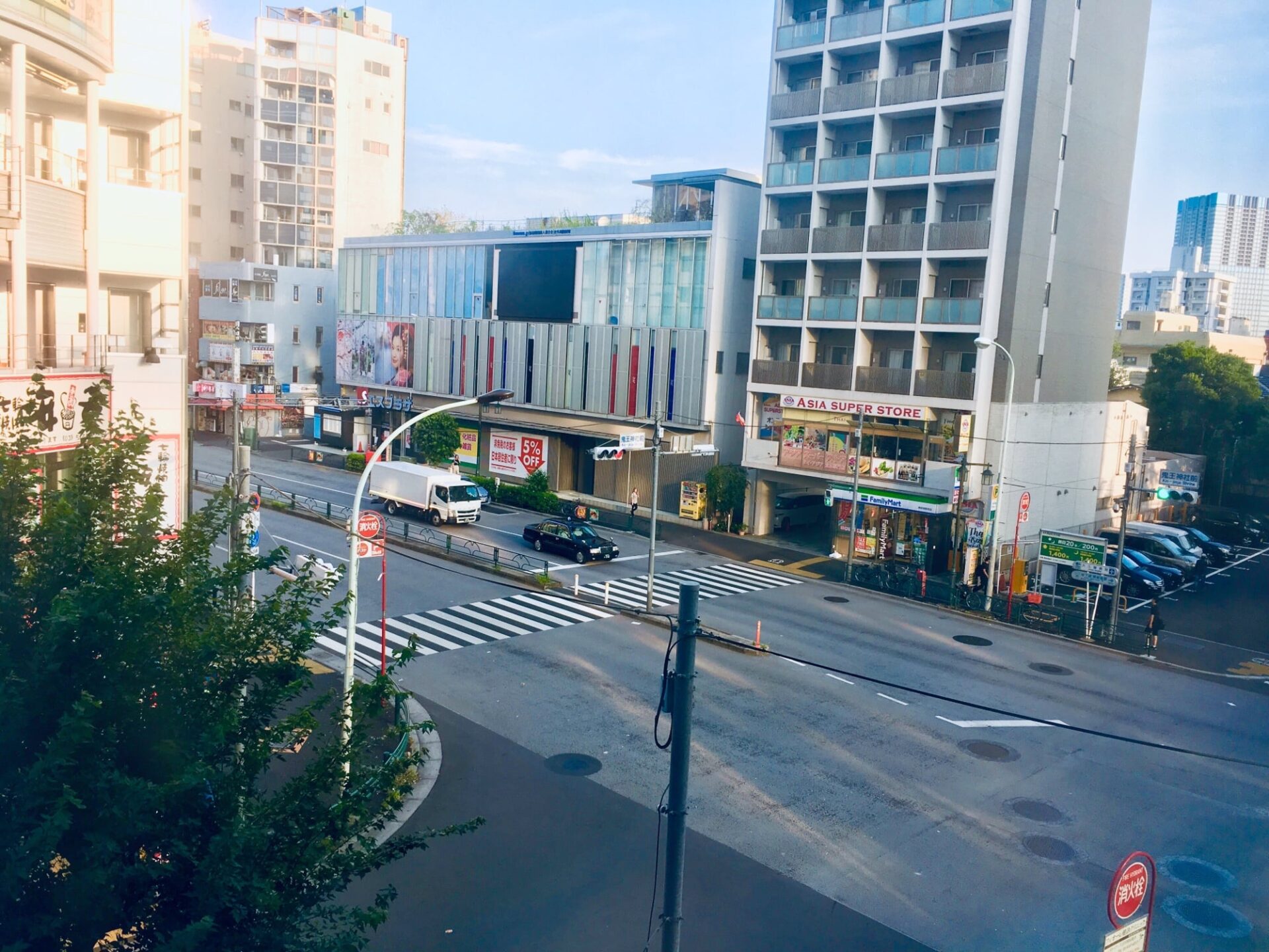
The Ever-Changing Urban Streetscape of Tokyo (Photo / Jinliang Lin)
Cultivating this block-level mental spatial model is an invaluable travel skill. It establishes an intuitive bridge between two-dimensional cartography and real-world streetscapes, preventing the frustrating scenario of arriving at the perimeter of a massive complex only to wander aimlessly searching for an entrance.
Of course, this practical tip serves everyday travelers. For cartography perfectionists, hand-sketching parcel boundaries and adjacent architectural reference anchors ensures you never miss your destination—unless, of course, the neighboring blocks were demolished for redevelopment last month!
Support Independent Perspectives & In-Depth Insights
Every thoughtful analysis and candid critique comes from our dedication to truth and quality. We choose not to follow sensational algorithms or clickbait headlines.
Sustaining independent research requires reader support. Make a one-time or monthly contribution, securely processed by Google.
Payments secured by Google · Manage or cancel anytime in your Google Account




Comments